Rachel is coming: San Diego under a rare tropical storm watch with Sunday the day of impact
Only the second tropical storm watch ever issued for San Diego County, after Hurricane Hilary in 2023, brings a forecast of 6-to-9-foot surf, 7-foot-plus tides, flooding rain, and gusts to 60 mph, mostly on Sunday.
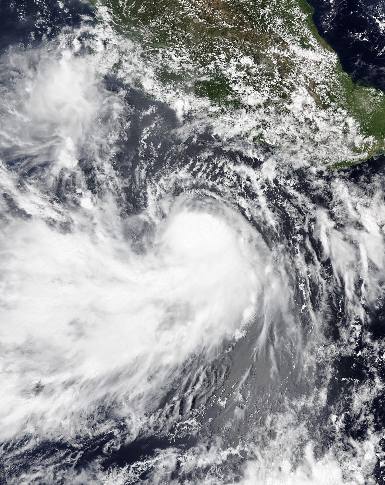
SAN DIEGO: A Tropical Storm Watch is in effect for all of San Diego County, from the coast to the mountains to the deserts, as Tropical Storm Rachel bears down on the region. The watch, issued by the National Hurricane Center and the National Weather Service office in San Diego, is only the second ever issued for San Diego County. The first came during Hurricane Hilary in 2023.
Rachel was about 600 miles southwest of San Diego early Saturday, moving northeast toward northern Baja at about 19 knots with maximum sustained winds of 60 mph. The Weather Service expects the storm to make landfall just south of the U.S.-Mexico border Saturday evening, with the bulk of the impacts arriving Sunday.
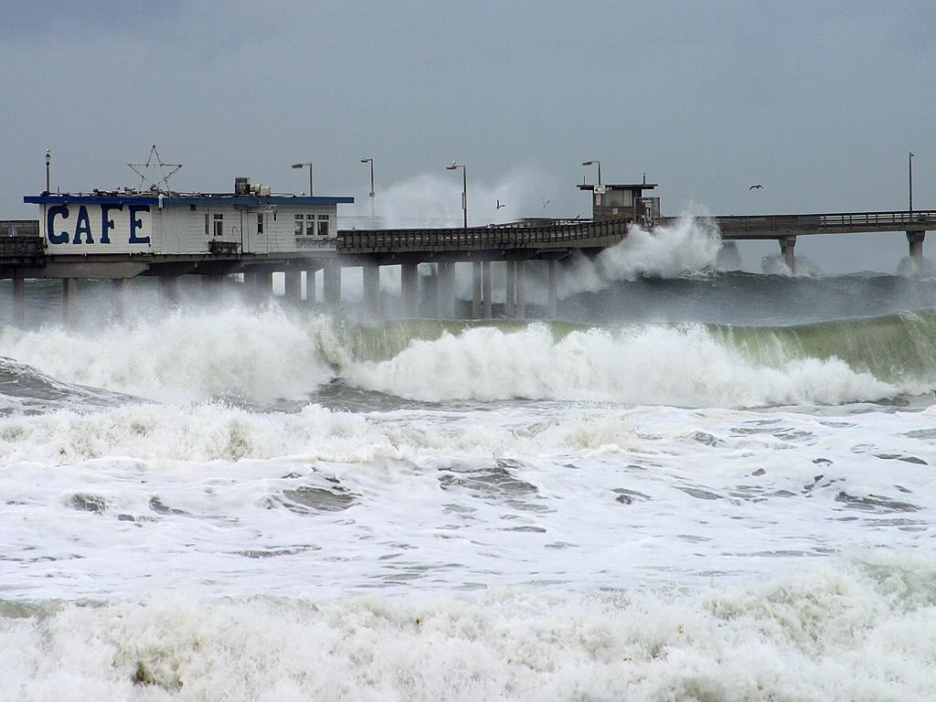
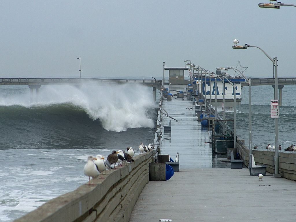
The coast takes the first and hardest hit. Surf is forecast to peak at 6 to 9 feet Sunday, combining with south and northwest swells, gusty onshore winds, and high tides topping 7 feet. The Weather Service said it has high confidence in significant coastal flooding and beach erosion along San Diego County beaches Sunday. A federal storm-surge model projects Sunday morning's high tide in San Diego Bay at about 8.2 feet, matching the all-time record set in November 2015, when high tides flooded streets in the Midway District.
Rain and wind Sunday
Widespread rain arrives Sunday. The forecast calls for 0.50 to 1.25 inches across the coast, valleys, and deserts, and 1 to 2.5 inches in the mountains, with the heaviest rain falling over the mountains and deserts. Peak rainfall rates could reach 0.50 to 0.60 inches per hour along the coast and in the valleys, 0.50 to 0.70 inches per hour in the deserts, and 0.70 to 1 inch per hour in the mountains. The Weather Service says areas of flash and urban flooding are probable, especially where the maximum rainfall rates occur.
A flood watch covers the entire county from Saturday evening through Sunday evening. The heaviest rain is expected late Saturday night through Sunday afternoon, and small streams, creeks, and arroyos could overflow. The San Diego River at Fashion Valley is forecast to peak at 7.4 feet, just below monitor stage, Sunday afternoon.
Winds ramp up Sunday as well. Sustained tropical-storm-force winds of 39 mph or higher are expected on the southeastern side of the storm, with gusts of 40 to 55 mph on the desert slopes of the mountains and local gusts up to 60 mph on mountain ridges, passes, and canyons. Scattered power and communications outages are possible, and hazardous driving conditions are expected on bridges and elevated roadways.
The Weather Service urged residents to finish outside preparations quickly and to not focus on the exact forecast track, since flooding rain, damaging wind gusts, and storm surge extend well away from the center. "Now is the time to check your emergency plan and emergency supplies kit and take necessary actions to protect your family and secure your home or business," the office said in its Saturday statement.
None to date. The Tribune corrects errors promptly and transparently. Read our corrections policy.