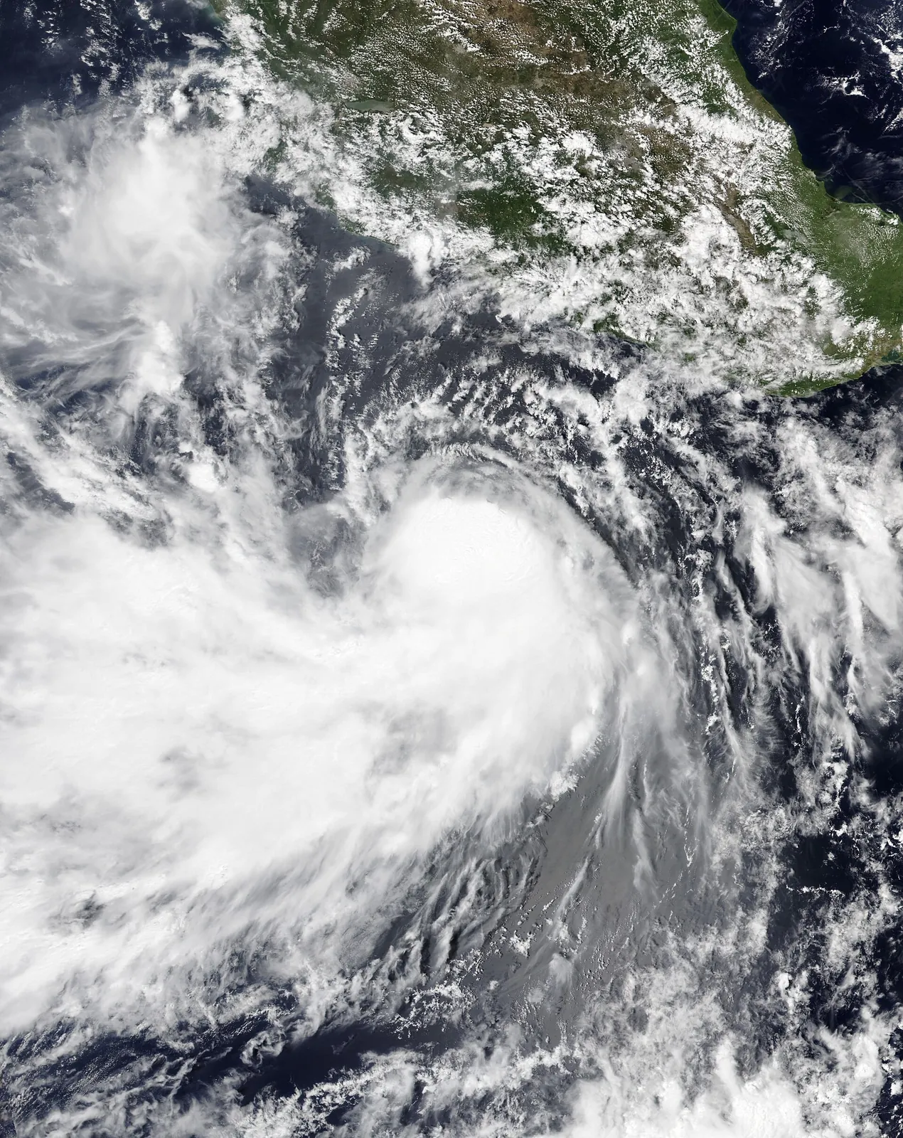
Showers return to San Diego County, with more rounds through the middle of next week
The National Weather Service forecast issued Thursday afternoon calls for cooler weather and periods of showers from overnight through the middle of next week, with wetting rain likely west of the mountains through Saturday and gusty winds in the mountains and deserts.
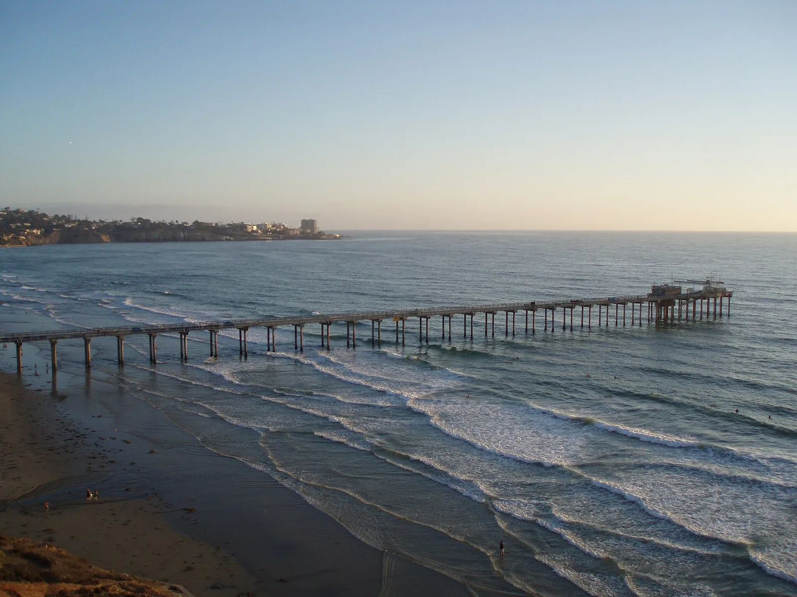
SAN DIEGO: The dry stretch is ending. The National Weather Service office in San Diego, in its forecast issued at 12:50 p.m. on Thursday, calls for cooler weather with periods of showers tonight through at least the middle of next week, and the County of San Diego carried the same turn in its County News Center forecast item published Thursday afternoon.
The rain arrives in rounds. The first round of showers is expected tonight into Friday afternoon, and a second round follows Friday night into Saturday afternoon. On the coast, the overnight forecast is partly cloudy becoming cloudy, with a chance of showers and isolated thunderstorms after midnight. Wetting rain is likely for most locations west of the mountains through Saturday.
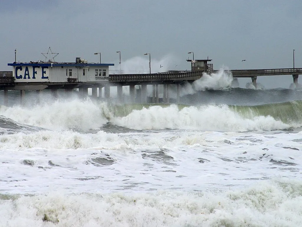
Wind for the mountains and deserts, then a dry Sunday
The wind is part of the same system. For the mountains and the desert areas, the forecast calls for west winds turning stronger and gustier late Friday night through Saturday afternoon, with peak gusts of 45 to 55 mph, locally higher in wind prone passes.
Sunday will be dry, the forecast says, and the break is brief. Periods of light to moderate showers return Monday through Wednesday, so the county faces the better part of a week of unsettled weather rather than a single storm passing through.
None to date. The Tribune corrects errors promptly and transparently. Read our corrections policy.