San Diego's neighborhoods, a primer
Downtown, the beach towns, the mesas and the border: a reporter's orientation to the neighborhoods of San Diego, and the nearby cities that are not neighborhoods at all.

SAN DIEGO: The first thing to understand about San Diego is that there is no single San Diego. There is a city, and there is a county that shares its name, and inside the city there are dozens of neighborhoods that function like small towns, each with its own main street, its own loyalties, and its own idea of what the city is.
First, the city is not the county
The City of San Diego is one municipality. San Diego County holds 18 incorporated cities plus unincorporated communities, and the unincorporated areas are governed by the county's five-member Board of Supervisors. Coronado, Del Mar, National City, Chula Vista, Imperial Beach, El Cajon, La Mesa, Oceanside, Escondido, Encinitas and Carlsbad are separate cities with their own councils and mayors. When people say San Diego they usually mean the whole metro; when City Hall says it, it means the municipality.
Inside the city, planning is organized around community plans. The City's Planning Department counts 49 community plans covering 52 community planning areas, and most have a community planning group of elected volunteers that advises on land use. If you want to know where a neighborhood begins and ends, ask its planning group.
Downtown and the core
Downtown is the working center: the Gaslamp Quarter's historic blocks, the waterfront along the bay, the civic buildings, East Village and Petco Park, Little Italy's restaurant rows, Cortez Hill above it all. It is where much of the region's civic life concentrates, and the trolley lines run through it.
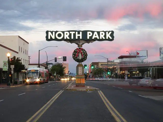
Just north of downtown sits Balboa Park, the city's great public room: the Zoo, the museums, the gardens, the Old Globe. Around the park ring the older neighborhoods: Hillcrest, University Heights, Mission Hills, Bankers Hill, North Park, South Park and Normal Heights. University Avenue and 30th Street are their commercial spines, and the North Park sign over University Avenue is a familiar landmark.
The coast
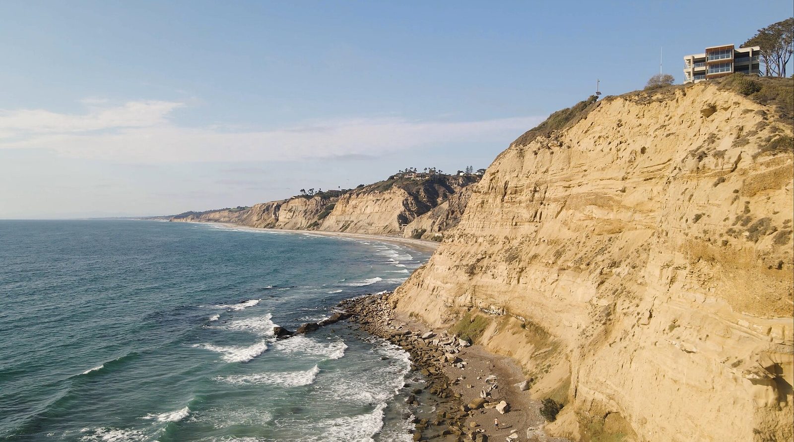
The coast runs from La Jolla south to Imperial Beach. Note the map: Imperial Beach is its own incorporated city, not a San Diego neighborhood. Each beach town has its own character. La Jolla holds the Cove and the university mesa. Pacific Beach is the lively one. Mission Beach is the boardwalk, and Belmont Park's Giant Dipper opened July 4, 1925, closed in 1976, and reopened August 11, 1990. Ocean Beach keeps an unpolished surf-town character. Point Loma's peninsula looks back across the bay at the city, and Liberty Station turned a former naval training center into shops and restaurants.
The mesas, the valleys, the south
Inland, the city climbs onto mesas. Mission Valley holds the malls, the river and Snapdragon Stadium. Kearny Mesa's Convoy Street is the region's Asian food corridor. Clairemont and Linda Vista are mid-century suburbs grown dense. Mira Mesa, Rancho Bernardo and Carmel Valley are the north-city suburbs, and University City gathers around UC San Diego.
In Barrio Logan, Chicano Park's murals on the Coronado Bridge pillars are a National Historic Landmark. Logan Heights, Encanto and the southeastern neighborhoods make up the city's south. San Ysidro sits at the border itself, and Otay Mesa faces the second crossing.
How to use this guide
Pick a neighborhood by its main street, not its zip code. Ride the trolley through it. Eat on it twice. Then find its community planning group and go to a meeting: that is where the neighborhood argues with the city, and where you learn what the place actually wants to become.
None to date. The Tribune corrects errors promptly and transparently. Read our corrections policy.